Data to Support Client Goals
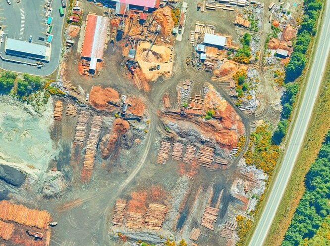
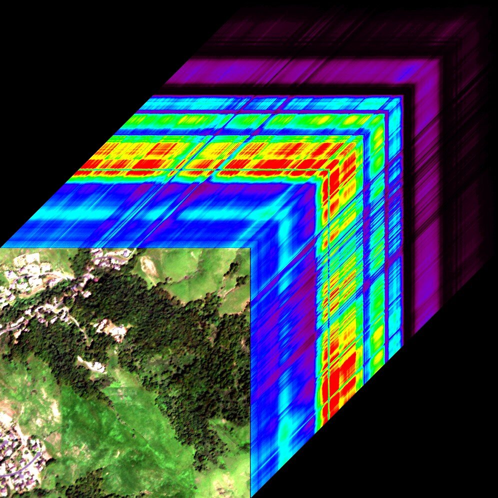
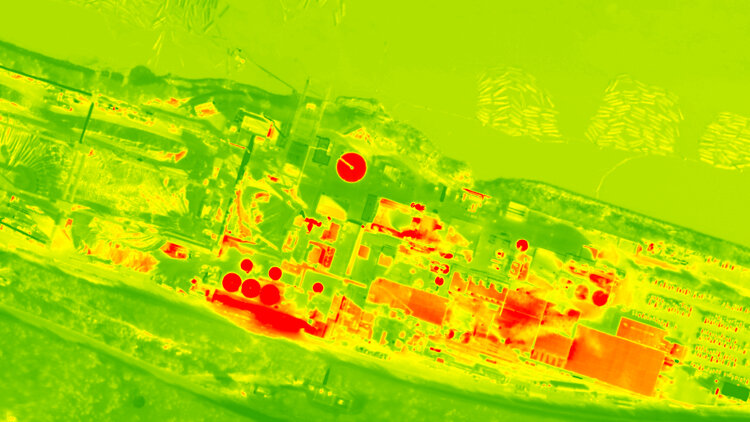
Terra Remote collects, calibrates, processes and delivers rich, multi-sensor spatial datasets with extensive applications that help our clients understand, protect and adapt environments, and build and maintain infrastructure.
Our capabilities can be customized to meet the unique specifications and requirements of any project and achieve our clients’ end goals. Terra’s broad range of integrated and cutting-edge technologies, software and processes provide complete coverage on any project in terrestrial, marine and transitional environments.
Acquisition Capabilities
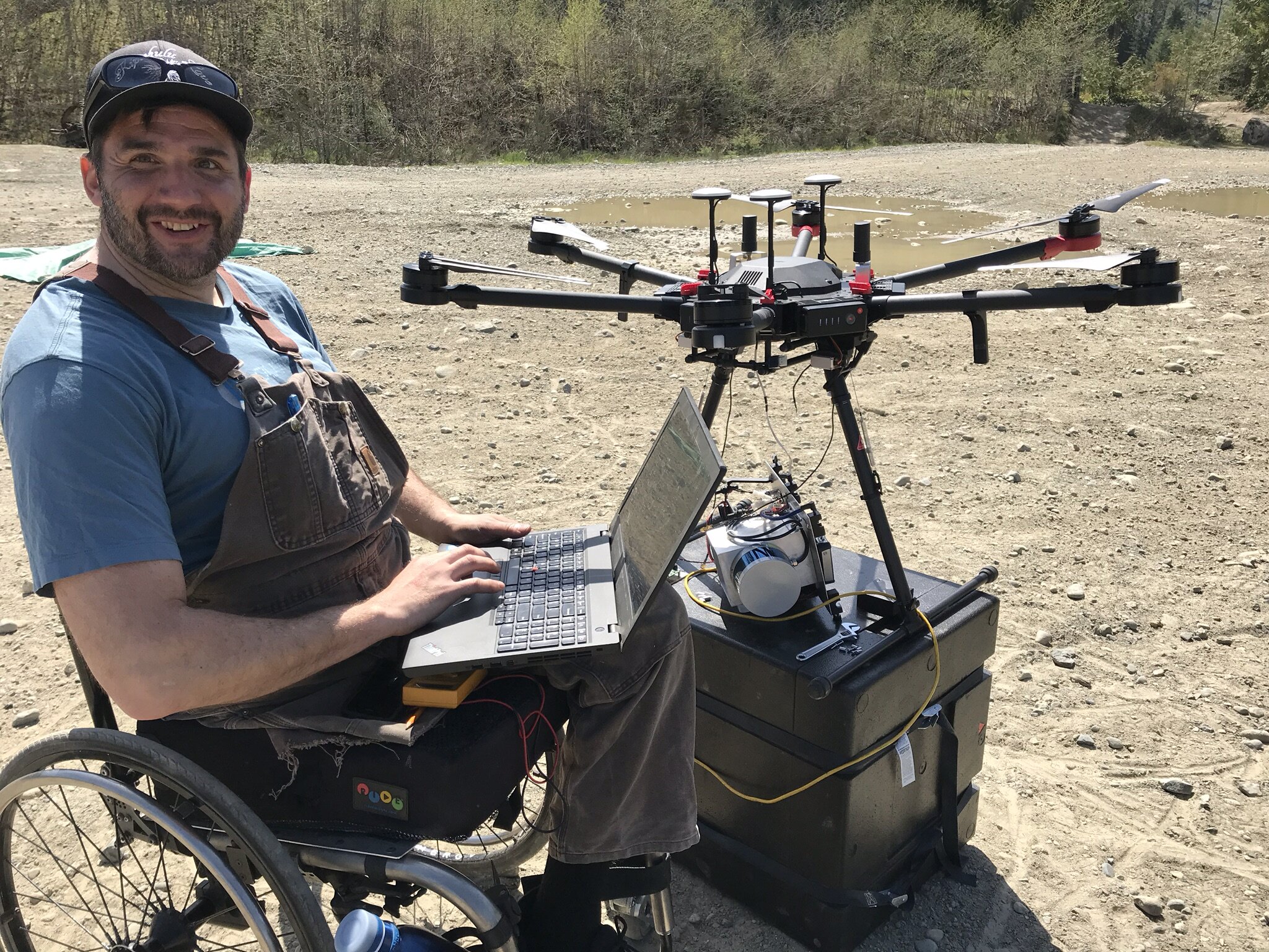
Terra Remote’s airborne equipment ‘pod’ systems are Transport Canada and FAA approved for mounting to multiple aircraft types.
Our in-house development group can adapt our technology to the evolving and unique requirements of specific projects.
Terra Remote’s LiDAR sensors are certified “Eye Safe.”
Data calibration includes both internal and external accuracy checks to achieve overall data accuracy that meets or exceeds project requirements
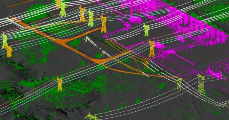
Terra’s classification procedures ensure quality data. Our data processing division combines an automated classing process using in-house developed software routines followed by manual editing and classification customized to the project specifications to ensure required data points are correctly classified into the desired feature codes.
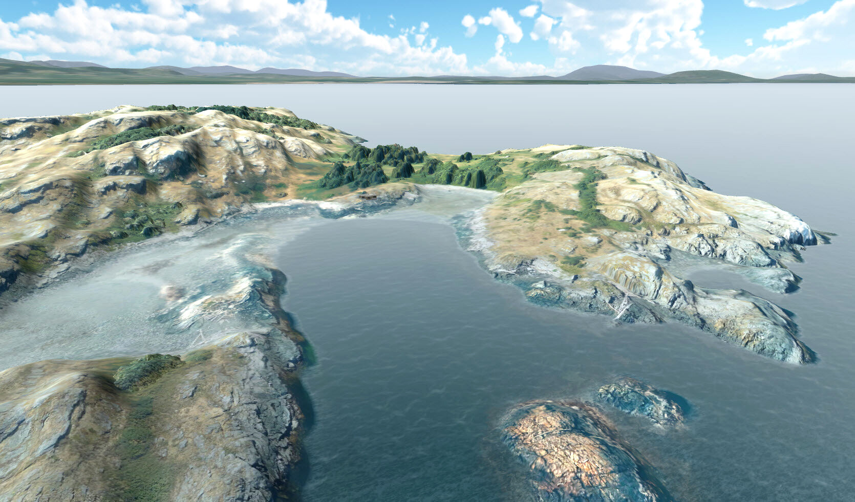
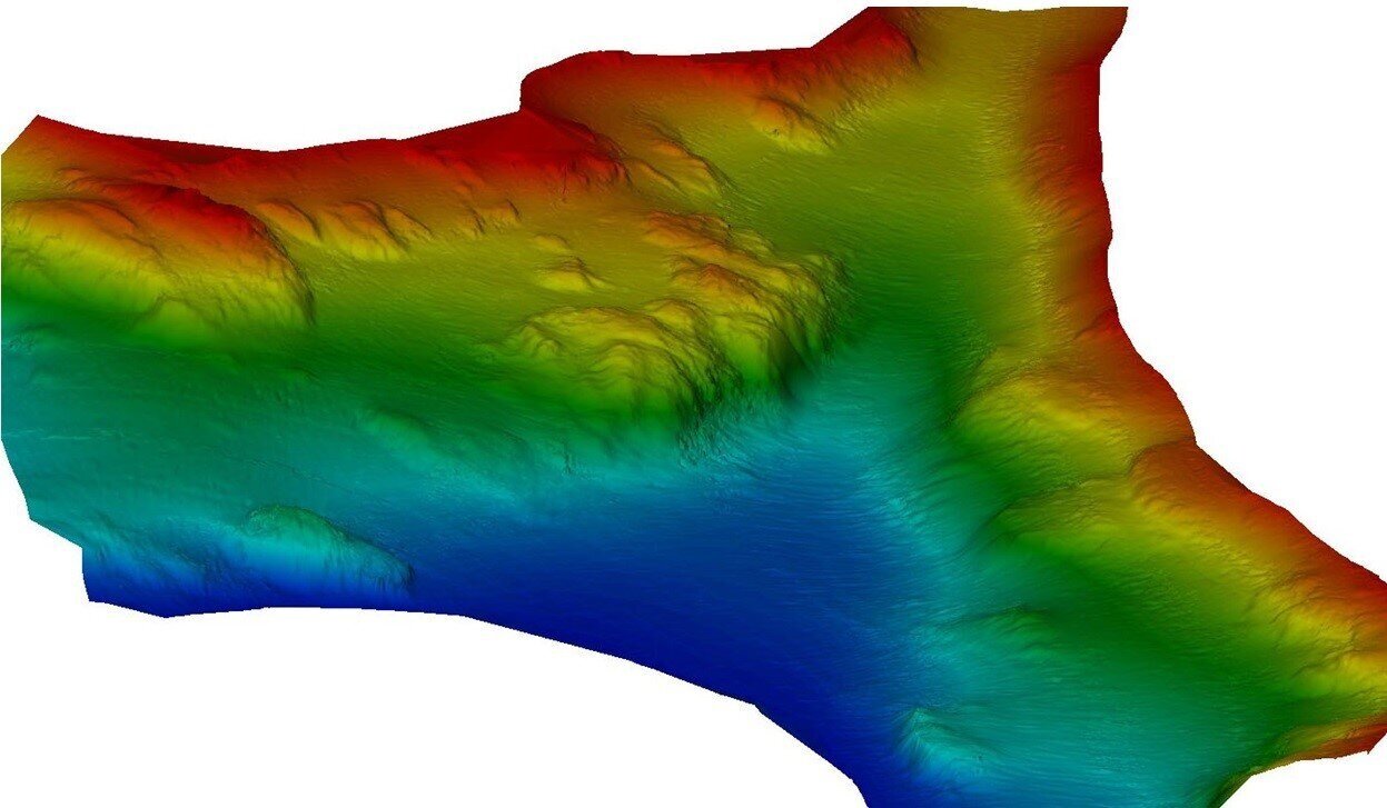
Terra has the capability to produce data geovisualization models of project data to provide clients with valuable tools to share data and update models relating to view shed modeling, land use and development scenarios, and changes over time. These models can be provided as stand-alone, open-source products or served online through a data portal.
Marine Data Acquisition
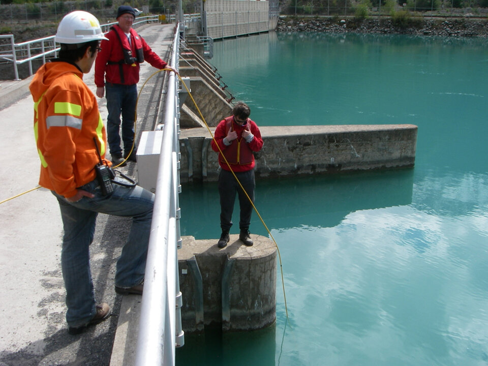
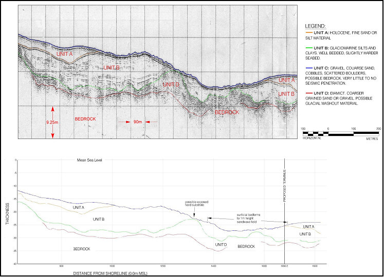
Terra’s Marine Division has worked with utilities internationally to map hydroelectric infrastructure including dam, outlet and cable inspection, cable placement and dredging activities.
“Our relationship has seen an increase each year in technology advances, service, and efficiency. The advantages we have seen…in the methodology of deliverables, a refinement of product, and a service that as exceeded expectations on all fronts.”
